Visible land uplift at Öjberget in Sundom
The land uplift is illistrated with three shoreline stones along the road Markvägen, which crosses the ridge of Öjberget in Sundom. The meteorite crater Söderfjärden can be seen at the bottom of the picture. The crater was still covered in water about 100 years ago. The pumping with the aim to drain the bay started in 1926
The Ostrobothnian lowlands have few examples that illustrate the land uplift as clearly as this. Almost 4000 years of shoreline displacement can be seen on this road. Öjberget's highest natural point, at +50 metres above sea level, emerged from the sea about 4500 years ago, roughly at the same time as the construction of Stonehenge began in England.
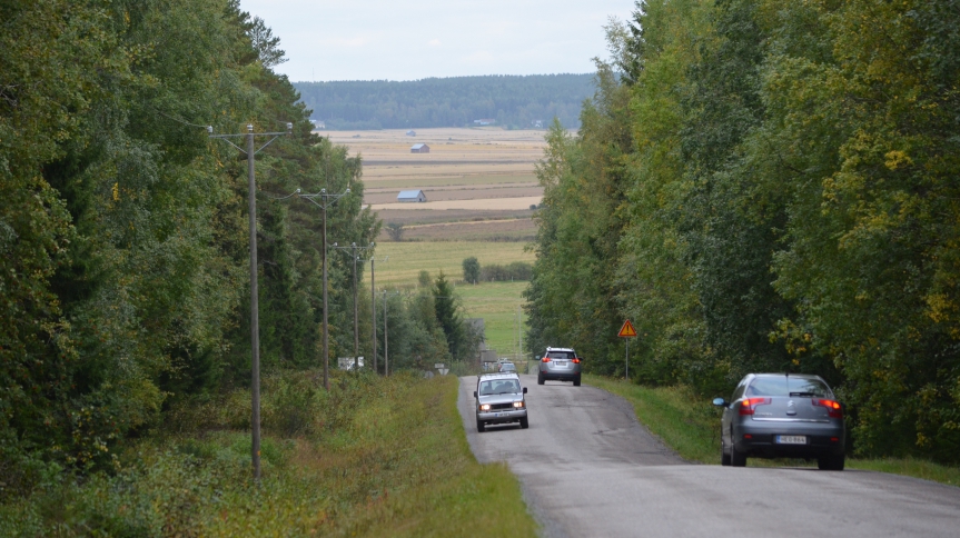
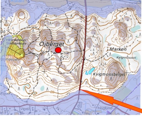
Around 1 AD, the shoreline ran along the line shown on the map, slightly up the Markvägen road above Solfvägen. This is where the first shoreline stone, 1 AD, is located.
Öjberget's highest natural peak 
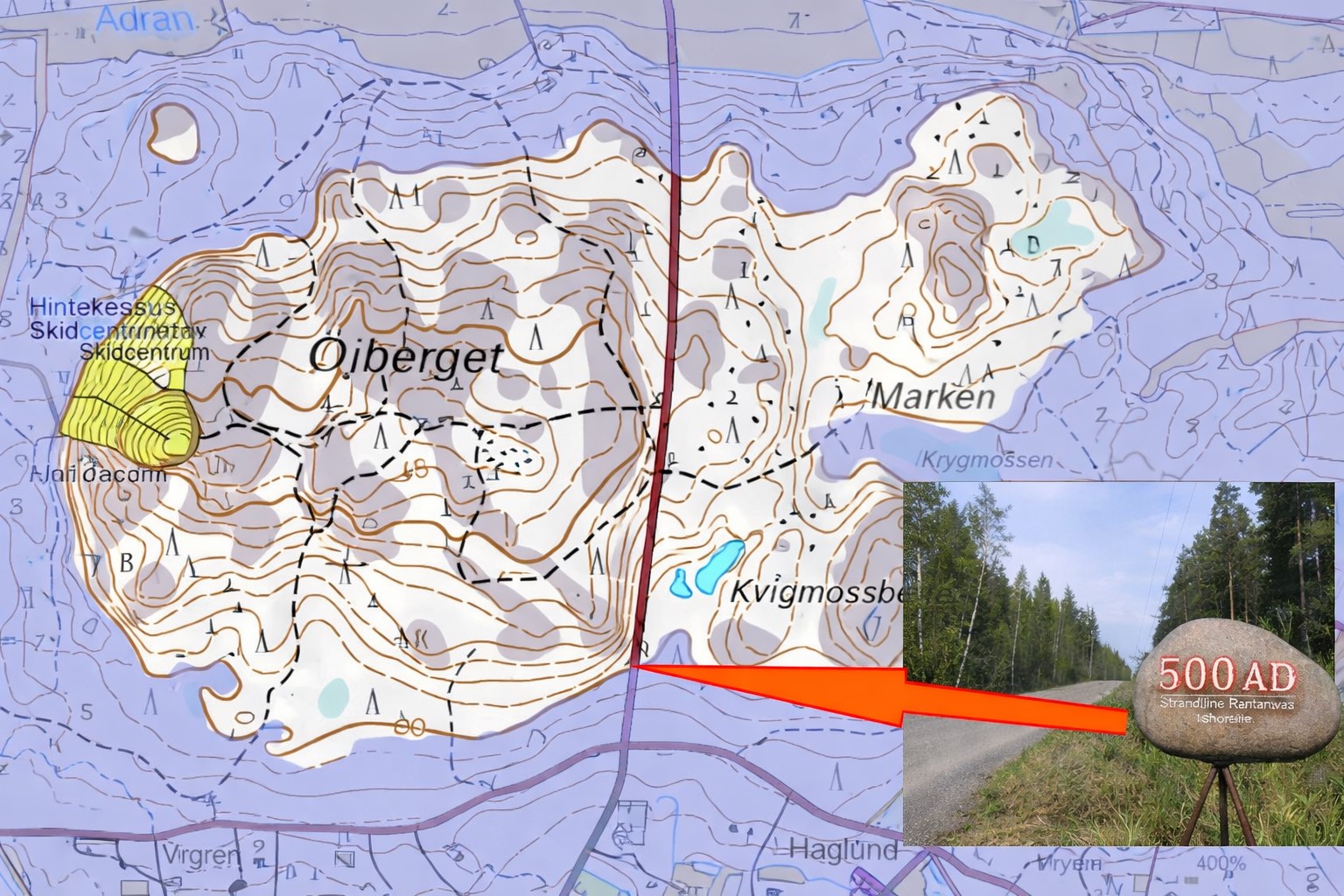
The second stone is further up the hill, and indicates where the water level was in 500 AD
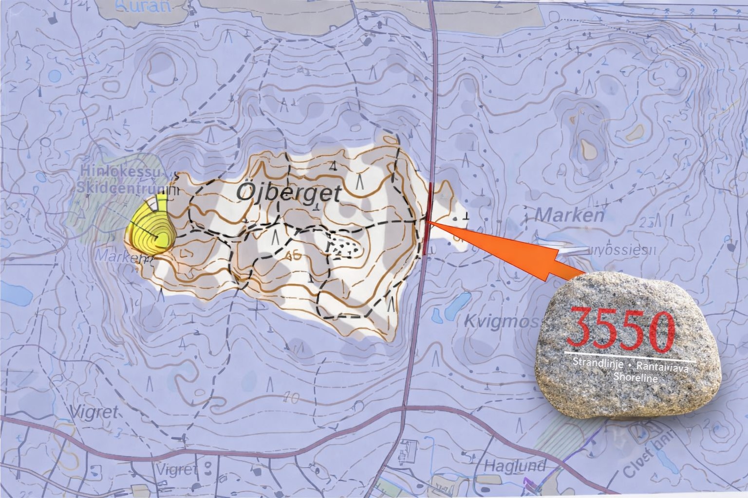
The third stone, 3 550 BC, is at the top of the hill, where the waves splashed about 3550 years ago.
Text and image
Matts Andersén 2026.
The Meteoria is managed by the Meteoria section of the Sundom Village Association in collaboration with the Vasa Andromeda Astronomical Association.
| Address | Marenvägen 294 65410 Sundom (Vaasa) |
|---|---|
| Phone | +358 50 5565199 |
| meteoria@sundom.fi |